
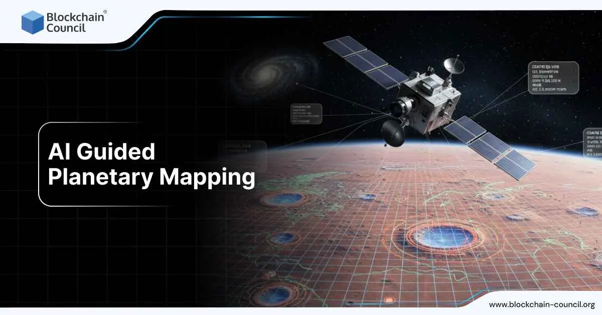
AI Guided Planetary Mapping
AI guided planetary mapping is what happens when planetary science meets modern machine learning at mission scale. Instead of a small team manually tracing craters, dunes, and lava flows across endless image tiles, researchers now build pipelines that can scan whole planetary datasets, flag features, produce catalogs, and then hand the results back to scientists for validation and interpretation. This shift accelerated across 2024 and 2025 because the data volume from modern orbiters and rovers is simply too large for manual mapping to keep up.
The phrase AI guided planetary mapping covers more than one task. It includes crater detection in orbital imagery, landform segmentation in context camera mosaics, mineral classification from hyperspectral cubes, and mapping products that feed directly into mission decisions like landing site selection or rover route planning. The most practical trend is that AI is now being used to build repeatable mapping systems, not one-off demos.

To work with these systems responsibly, you need to understand not only how models classify pixels but how they are trained, validated, and deployed against real mission data. That is why structured learning like an AI certification is useful for researchers and engineers who want to move from “cool results” to workflows that can survive scrutiny.
Why mapping hit a breaking point
Planetary mapping has always been detail-heavy work. Traditionally, it meant experts interpreting images and drawing boundaries for geologic units, counting craters, and producing basemaps that other scientists could use. The approach still works, but it struggles at modern scale.
By 2024, high-resolution global mosaics, repeated orbital passes, and new imaging instruments pushed mapping into a new regime. One mission can generate enough imagery that manual mapping becomes a multi-year backlog. That delay matters, because missions operate on timelines where decisions are made weekly or monthly, not years later.
AI guided planetary mapping emerged as the practical answer: let models do the first pass across the full dataset, then let experts confirm, correct, and interpret.
Crater detection became the workhorse
If there is one use case that defined AI guided planetary mapping, it is crater detection.
Craters are not just visual features. They are a scientific tool. Crater size and density help estimate surface ages, interpret geologic history, and compare regions across bodies like the Moon and Mars. They are also a navigation asset. In recent navigation research, crater landmarks are treated as stable reference points for pose estimation and terrain-relative navigation.
In 2025, NASA technical work documented crater detection efforts aimed at running on near-future space-qualified hardware, not just GPUs in a lab. That is an important shift. It means teams are thinking about models that can run closer to real time, with constraints on compute and power.
Another notable 2025 NASA technical entry describes machine-learning-driven detection at extreme scale: over 1 billion lunar impact craters in permanently shadowed regions using data from ShadowCam. Permanently shadowed regions are difficult terrain for mapping because illumination is limited and conditions are unusual. That is exactly why an AI pipeline matters there: it can process massive coverage consistently, then allow experts to focus on verification and scientific interpretation rather than first-pass discovery.
From “counting” to “understanding” geology
Crater catalogs are only the starting layer. In 2024 and 2025, AI guided planetary mapping expanded into higher-level geology tasks: classifying landforms, detecting degradation patterns, and mapping composition.
A strong example is Mercury. An AGU-published study on 18 February 2025 reported a machine learning-derived global catalog used to analyze Mercury hollows and their degradation states. Hollows are unusual bright, shallow depressions that are scientifically interesting because they hint at volatile loss and surface evolution. A global catalog matters because it lets researchers test hypotheses consistently at planetary scale, rather than relying on small hand-picked regions.
On Mars, a 2025 Remote Sensing paper described a machine learning framework for large-scale mineral mapping, aiming to map mineral distributions across wide regions rather than performing localized manual classification. Mineral maps are foundational for understanding ancient water activity, alteration processes, and the geologic timeline of a surface.
There was also practical community-facing work in May 2025 tied to the 56th Lunar and Planetary Science Conference, describing machine learning approaches to enhance mapping from Mars Reconnaissance Orbiter CTX imagery. CTX is widely used because it offers broad coverage and consistent resolution for contextual mapping. Applying ML to CTX is a pragmatic choice: it is exactly the kind of dataset where automation can save months of work.
Rover-scale mapping is part of the same story
AI guided planetary mapping is not only orbital. It also shows up at rover scale, where “mapping” means building local context for scientific decisions.
NASA publicly discussed this direction in a 16 July 2024 post describing how AI supports Perseverance rover science by helping identify minerals in rocks. That is a local mapping workflow: the rover collects imagery and spectral signals, AI helps classify or prioritize, and scientists decide what to sample next.
The value is not that AI makes the final call. The value is that it reduces decision friction. When downlink windows, power budgets, and rover time are limited, earlier prioritization helps.
Mapping is now tied to autonomy and navigation
One of the most consequential shifts in 2025 is that mapping and navigation are starting to merge. Crater detection and terrain segmentation are no longer only science outputs. They are also inputs to autonomy stacks that support safer operations.
Crater-based navigation research treats craters as landmarks for localization. Terrain classification supports hazard avoidance. Elevation-model interpretation informs slope risk. This is where AI guided planetary mapping becomes operational, not just descriptive.
That operational context changes how models are built. It forces attention to edge cases, uncertainty, and validation, because a map product can influence a route, a landing ellipse, or a mission plan.
The infrastructure layer behind mapping products
Even the best model is not useful if its outputs cannot be integrated into the planetary mapping ecosystem.
In the United States, the USGS Astrogeology Science Center remains a core hub for planetary mapping infrastructure. It hosts basemaps, mapping tools, and services that allow researchers to build standardized products across missions.
In Europe, programs like Europlanet 2024 RI have been building machine learning tools aligned to planetary science use cases, with emphasis on publishing higher-level products into shared services such as GMAP and VESPA. This matters because AI guided planetary mapping is not only about model performance. It is also about distribution, reusability, and scientific traceability.
Conclusion
AI guided planetary mapping is powerful, but the limitations are real.
Generalization is a constant struggle. A model trained on one sensor, lighting regime, or planetary body can degrade quickly when moved to a different context. Permanently shadowed regions are a good example. So are dust-covered Martian plains versus rocky highlands.
Validation is the other major challenge. Planetary science requires careful uncertainty handling. The best modern systems attach confidence scores, run.
Related Articles
View All
AI & ML
AWS Career Roadmap
Cloud computing has transformed the way businesses build and deliver digital products. Today, companies no longer need to invest in expensive physical servers to run their applications. Instead, they rely on cloud platforms that provide scalable computing power over the internet. One of the most…

AI & ML
What is AWS? A Beginner’s Guide to Cloud Computing and Career Opportunities
Cloud computing has become the backbone of modern technology. From streaming services and online shopping platforms to AI applications and mobile apps, most digital services today run on cloud infrastructure. One of the most powerful platforms leading this transformation is Amazon Web Services…

AI & ML
How to Start an AWS Career Using AI: A Modern Beginner’s Guide
Cloud computing has become one of the most important technologies powering the digital world. From streaming platforms and mobile apps to artificial intelligence systems and large-scale business applications, most modern services rely on cloud infrastructure. Among the many cloud platforms…
Trending Articles

The Role of Blockchain in Ethical AI Development
How blockchain technology is being used to promote transparency and accountability in artificial intelligence systems.
AWS Career Roadmap
A step-by-step guide to building a successful career in Amazon Web Services cloud computing.

Top 5 DeFi Platforms
Explore the leading decentralized finance platforms and what makes each one unique in the evolving DeFi landscape.